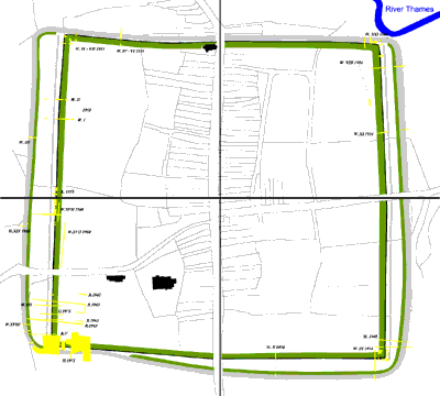
Figure 6: Plan of Cricklade showing all areas, trenches and sections from excavations, 1948-75.
Figures 6a and 6b: DWF plans of Cricklade's Saxon and medieval defences [View help on how to use DWF files]
Figures 6c and 6d: Static plans of Cricklade's Saxon and medieval defences
 [View help on how to use DWF files]