
Back | Forward | Close Window
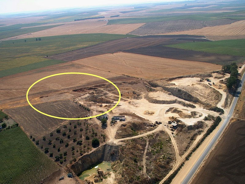
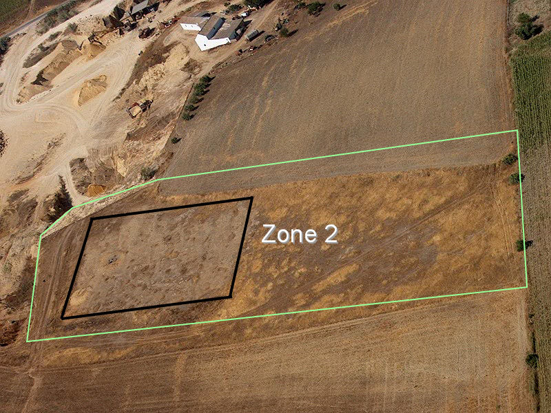
Figure 2: a) Aerial view of El Jadramil-El Palmar site, and the present quarry activity (2003); b) Aerial view of the modern quarry (in 2003) and the remaining area of prehistoric mining with the presence of shafts (Zone 2); an excavated area of shafts (square), partially excavated in the 1992-93 rescue survey and a non-affected area of the site, positioned to the south of the quarry and the Haza del Palmar farmhouse.

