Back | Forward | Close Window
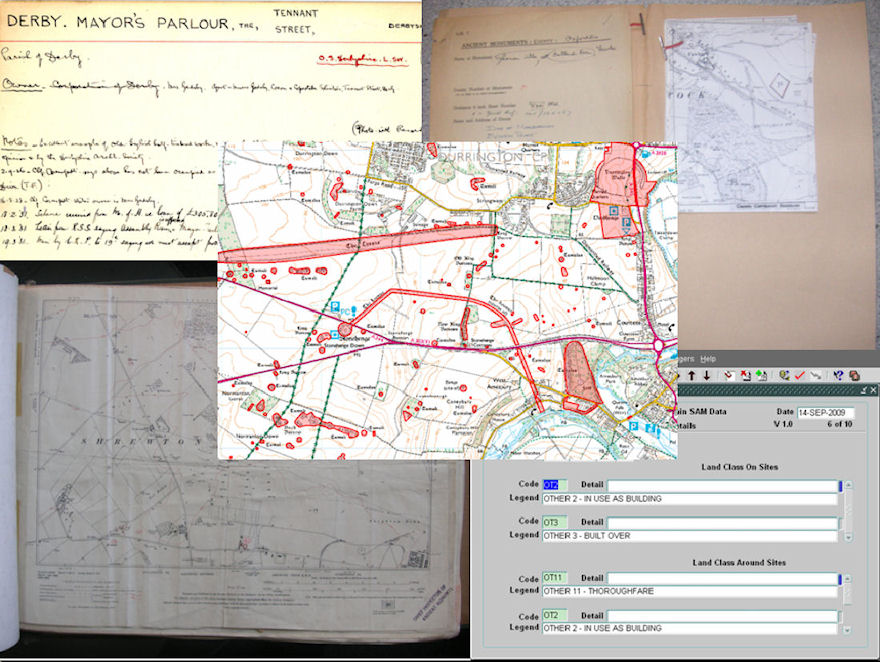
Figure 8: The changing way Scheduled Monuments are recorded from physical objects: a) index cards (top left), b) maplet folder (top right) and c) county map volume (bottom left), to the digital: d) the RSM (bottom right and e) GIS layer (centre), ( a) © English Heritage, b and c) © English Heritage, map © Crown copyright. Ordnance Survey, d) © English Heritage, e) © Crown Copyright, map © Crown copyright. Ordnance Survey. All rights reserved. English Heritage 100019088. 2010).
